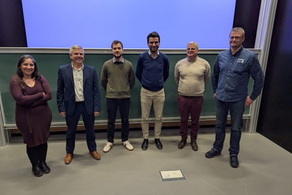
This thesis was realized under the direction of François Goulette and Jean-Emmanuel Deschaud of the Center of Robotics of Mines Paris - PSL.
The defense took place on Monday 10 March 2025 at Mines Paris - PSL.
Jury members:
- NUCHTER Andreas, Professor at Wurtzbourg University - Rapporteur
- CHECCHIN Paul, Professor at Clermont Auvergne University - Rapporteur
- CHAMBON Sylvie, Professor at Institut de Recherche en Informatique de Toulouse (IRIT) - Examinatrice
- GOULETTE François, Professor at ENSTA Paris - IP Paris - Thesis Director
- DESCHAUD Jean-Emmanuel, Associate Professor at Mines Paris - PSL University - Thesis Co-Director
Summary of the PhD thesis:
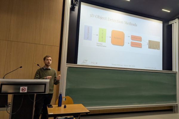
The development of robust perception systems is fundamental for the safe and efficient operation of autonomous vehicles. These systems perform essential tasks such as 3D object detection, enabling vehicles to identify and localize obstacles, including other vehicles, pedestrians, and various objects within their environment. Accurate detection is critical for effective decision-making and navigation through complex driving scenarios. However, 3D object detection presents significant challenges due to the diverse nature of real-world conditions, which encompass a broad range of sensor setups, geographic environments, and scene complexities.
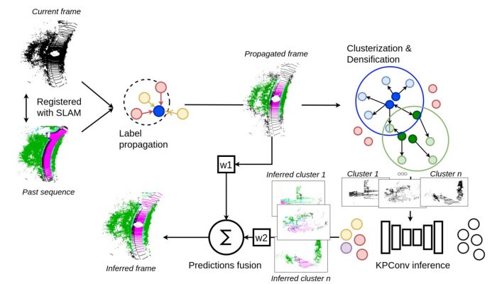
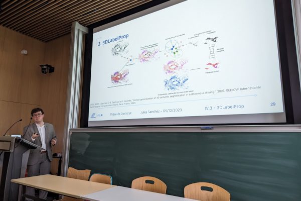
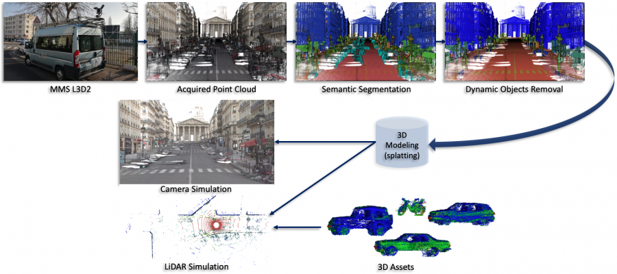
Firstly, this thesis work identifies and addresses the domain shifts that occur between different LiDAR datasets due to variations in sensor specifications, geographic environments, and dataset-specific attributes. These shifts often lead to significant performance gaps when models are transferred between datasets. To mitigate these issues, a multi-dataset training framework called MDT3D is introduced. MDT3D integrates data from various sources and employs novel augmentation and label harmonization techniques to create models that can generalize effectively across different conditions.
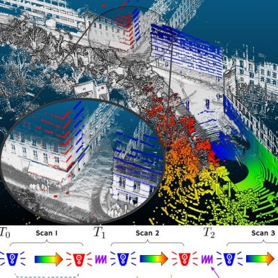
Secondly, the thesis presents ParisLuco3D, a dataset captured in urban areas around the Luxembourg Garden in Paris, designed to test model robustness in complex real-world scenarios. This provides a dedicated dataset to test model generalization, which we benchmark to highlight the poor performance of baseline generalization methods.
Lastly, the last axis of generalization explored is generalizing detection to novel unknown objects. We reframe the detection of unknown objects as an out-of-distribution (OOD) problem, allowing models to differentiate between known and previously unseen objects without compromising accuracy on familiar categories.
Congratulations to Louis !!!